How Contractors are Using Drones
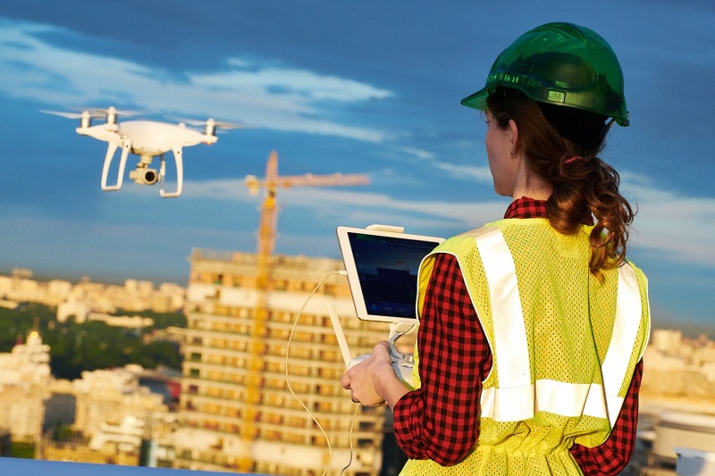
Over the past few years, there has been no shortage of articles and news stories about drones and their commercial applications. Drones are being leveraged by a wide range of industries for better communication, improved quality control, reduced risk, and a healthier bottom line. So how are contractors taking advantage of this tool?
Here are the top uses for drones in the construction industry.
Drone Image Overlays
Drone imagery overlain over the contract documents is a power quality control tool. Web-based software allows you to take an image from the drone and perfectly scale and rotate it to line up with a pdf file of the drawings. You can use this to verify that anchor bolts, post-tension cables, and wall layout are exactly where the contract documents say they should be. This visual QC method is an extremely effective tool to ensure you’re compliant with the documents and builds trust with the owner and designers.
Thermal Imagery
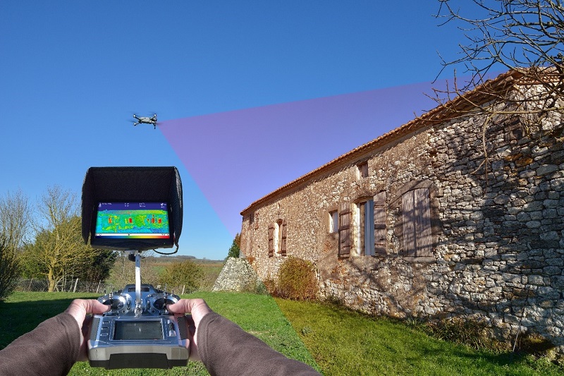
By mounting a thermal IR camera to a drone, contractors can get a whole new dimension for quality control. Thermal photography can be used to check for air leaks and the integrity of the thermal envelope. An example is to use thermal photography to field check argon-filled windows. Argon is an invisible gas and would be nearly impossible to tell if it escaped without thermal imagery. Contractors also use thermal cameras to find leaks, locate water behind the building skin, and verify that hot applied materials are installed within specified temperature ranges.

Surveying
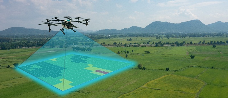
When a commercial drone takes a picture, it also records the GPS location, compass orientation of the drone, and camera angle within the image’s metadata. Using that data, structure-from-motion (SfM) software can create highly accurate surveys. Each image has thousands of pixels which the software matches to pixels from similar images. Surveys with high point cloud density can be created in minutes. When ground control points are added, absolute accuracy is oftentimes sub-inch. Drone-based surveys are excellent tools for pre-construction and progress surveys. It’s also a good way to document the location of underground utilities before they are covered up.

3D As-builts and Quantity Take
The same software used to create drone surveys can also create 3D models of the site. Drone imagery is draped over the point cloud creating 3D reconstructions of the site. As these models are relatively simple to make, 3D asbuilts are often sent to owners and designers weekly. They not only show progress but can improve communications and support schedule updates. Documenting the job with periodic 3D as-built is a powerful tool to include with the close-out documents. Having an accurate 3D as-built of the site gives the project team an easy tool for quantity take-offs. Stockpiles and earthwork volumetrics are obvious use-cases; however, any surface area within the model can be measured. This can save time by verifying invoices from trade partners and proving work in place for pay applications to the owner.
How Much Does it Cost to Start Using Drone Technology?
Many variables go into answering the question “how much does it cost to start using drones.” For example, a good entry-level commercial drone may cost $2,500; however, a drone with a LiDAR sensor may be $200,000. However, a good rule of thumb for a company wanting to start using this technology the right way is about $6,500. This would include a drone ($2,500), the FAA license fee ($100), a million-dollar insurance policy ($600), an SfM software package ($1,800), and a good drone training class ($1,500). Let me drill down in on that last one. Commercial drones are not a toy, and it’s essential to have your people know how to operate them the right way. The FAA requires the operator to pass a knowledge exam and earn their Part 107 Remote Pilot Certificate (drone license). The exam is very passible, but you’ll be well served by taking a prep class. It would be best to have your people get some stick time with a simulator first before purchasing a drone. The last thing you want is to crash your aircraft 10 minutes into its first flight. Your training should also show you how to create the surveys, 3D as-builts, and QTO mentioned earlier.
Online Training Available through Clemson University
You don’t need a computer engineering degree to create those deliverables, but a little training goes a long way. There are many good training courses on the market, including the Applied Drone Technology course offered through Clemson University. This fully online course is designed specifically for contractors and surveyors. For more information, you can watch this OVERVIEW VIDEO or download the Course Information Sheet to learn more.
About the Author – Joe “Dr. Drone” Burgett is a tenured faculty member in the Nieri Family Department of Construction Science and Management at Clemson University. Read full bio.


